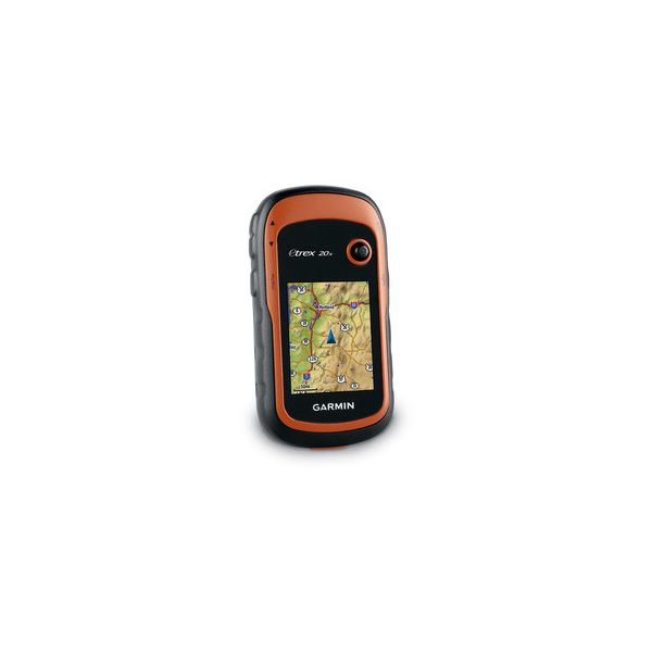
Garmin eTrex 20x - Colour screen & Expandable Memory
eTrex 20 takes one of the most popular and reliable GPS handhelds and makes it better. Redesigned ergonomics, an easier-to-use interface, paperless geocaching and expanded mapping capabilities add up to serious improvements for an already legendary GPS handheld. eTrex 20 is versatile. It's tough. And it’s built to handle whatever Mother Nature can dish out – and more.
eTrex 20 has an enhanced 2.2 in 65K colour, brilliant, sunlight-readable display. Durable and waterproof, eTrex 20 is built to withstand the elements. It has an upgraded interface yet retains its legendary toughness to withstand the elements – be it dust, dirt, humidity or water, none of which are a match for this navigator. Popular, affordable, better than ever
General Features
- 2.2” (diagonal), colour, sunlight-readable display
- Waterproof to IPX7 standard
- up to 25 hours on 2 AA batteries
- Paperless Geocaching
- Add mapping for marine, outdoor or road use
Paperless Geocaching
Spend more time in the field and less time fumbling with paper! The eTrex stores and displays key information, including location, terrain, difficulty, hints and descriptions, which means no more manually entering coordinates and paper print outs. Simply upload the geocaching GPX file to your unit and start hunting for caches.
Track More Satellites
Find your way with the first consumer-grade GPS receiver that tracks both GPS and Russian Federation GLONASS satellites simultaneously. When using them together, the receiver has the ability to lock onto 24 more satellites than using GPS alone, ensuring you can “lock on” to a position more quickly.
Pick Your Profile
Customize eTrex for every occasion. Profiles allow eTrex to quickly switch into different configurations that you create, so when you’re done geocaching and you need to drive home, your eTrex won’t miss a beat.
Advanced Tracking
Whether following a saved route or planning a new one, eTrex has the tracking features you need. Users can see high and low elevation points or store waypoints along a track (start, finish and high/low altitude) to estimate time and distance between points.
Extensive Map
Support With its microSD™ card slot and large internal memory, eTrex lets you load a variety of maps, including TOPO 24K, BlueChart® g2, City Navigator NT® and BirdsEye™ Satellite Imagery (subscription required).


