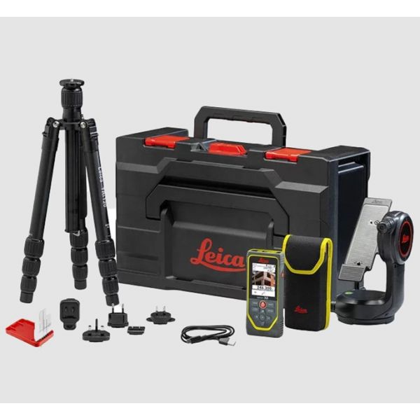
Leica DISTO™ X6 Laser Distance Meter P2P-Package, 250M
Leica DISTO X6 P2P Package
- Measurement Data in CAD Format
- Measuring Inaccessible Areas – P2P Technology
- Point-to-Line Measurement – P2L Function
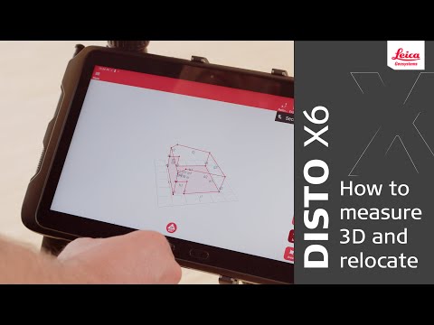
The combination of the DISTO X6 and the Leica DST 360-X Adapter enables P2P Technology, which means distances between any two points or complex areas can be measured from a safe location, even in inaccessible areas. Afterwards, the results can be downloaded as perfectly organised DXF files and further processed in any CAD software. Visualisation of the data in the DISTO Plan app is also possible directly on site, allowing you to see immediately if any measurement points are still missing. This supports the digitalisation process, shortens workflows, saves money and avoids errors.
Innovative sensors developed by Leica Geosystems provide precise distances as well as angle information. The combination of angle and distance measurement enables coordinates to be captured that define the position of any point. The data can then be processed in any CAD software.
Well-organized DXF data
Measurement data captured with P2P Technology can be stored in DXF format on the DISTO and downloaded via a USB interface for further processing in CAD solutions. The data is available as a floor plan or wall layout (2D DXF files) or as a 3D model (3D DXF files). This simplifies the creation of plans and the quality inspection of objects.


